 Ram
Falls is another one of those out of the way places. The fall are easy to get
to, it is just bit of a drive to get there. I drove west from Sundre on Highway
591 through Bearberry and turned north on Highway 734, also marked as Highway
40. Highway 591 is paved all the way to the bridge crossing the James River. On
the other side it becomes a well-maintained gravel road. The road is largely
two lanes wide. There are a few spots were it gets a little narrower. My
standard Alberta road map did the job. I really do need to get a map that shows
the roads in better detail when I am going off the main roads. I did not find
much information online before going other than to beware of logging trucks and
that the road was in great shape. I never did run across any oilfield trucks or
logging trucks. There were lots of hunters. Beware of the lack of cell phone coverage.
 |
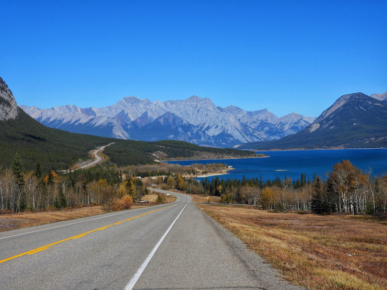
| South Ram River November 1, 2014 |
From
the junction turning north the distance is not really far, about fifty-five
miles, but it takes about two hours to get there. What would normally take less
than an hour on a paved highway takes longer due to lots of twisting gravel
road, low speed limits, and the occasional hairpin curve. The gravel road is
pretty much a gravel highway that could easily be driven in a car. The road
goes through valleys and hangs off the side of mountains. The scenery is well
worth the trip, and there are some great views. I saw few deer and goats likely
due to hunting season. The bit of information online had mentioned lots of
wildlife, particularly bears. There are gravel roads that branch off from the
left and right of the road in various places however you won't get lost, the main road is well
marked.
Ram Falls is fed by
the South Ram River. The highway crosses the river and the falls are just off
to the right when you are traveling north however you can not see the falls
from this point. Just north of the bridge on the right is a campground where
you can park and walk to the falls. There was no one there when I went, then
again I was there on November first. A short walk from the parking lot through
the woods and you get to a long set of stairs that you can walk down to a
viewing platform to get a look at the falls. I would like to see it in June
when there is more water from the runoff. From the falls it is about another forty
miles north to where the road meets Highway 11 and pavement near Nordegg. I was on pavement for about an hour then
I got snow-stormed all the way home.
 |
| Ram Falls November 1, 2014 |


Nice. Really nice. I think I'll fill the tank, check the air in the tires, and head your way.
ReplyDelete