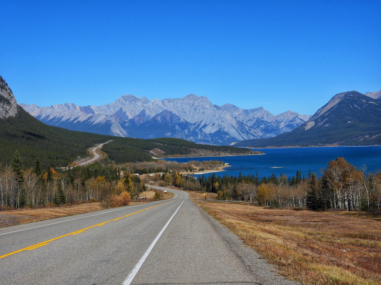
A continuation of my post "Hiking in the Kootenay Plains". I went back to this area to continue on past the two bridges onto the falls. I got here too late in the day last time.
Posted just after the second bridge and good advice. The trail is well marked however someone at some time decided to remove some signs further up the trail leaving the metal signposts. It is easy enough to figure out where to proceed. Other natural hazards would be bear. I have seen black bear from the highway before on prior trips.
Past the second bridge heading uphill.
An immediate look back.
Onward. Great trail.
Almost like being on the west coast. Thick spongy moss and mushrooms near the falls.
The view downstream from the falls.
The top of the falls.
This is a hard falls to capture in a photo. It is a very narrow falls with sharp craggy rock on either side. The narrowness and steep drop throws up a lot of mist.
Viewpoint. There are two more waterfalls on this further up. I was here for a few minutes doing a bit of exploring and I remembered I had not seen anyone for half an hour. I was also alone and did not bother telling anyone where I was going. I scrapped any plans about heading another kilometre into the brush to the next falls as the trail is not marked past this point. I packed it in and headed back. For the entire four kilometres on the way back I did not run across another person.
An important lesson is that I learned I am in lousy physical condition. I need to work on that.
Stepped a bit off the trail on the way back to get a photo of this.


Took a look-see on GE. Those mountains are magnificent!
ReplyDelete